Detail View: Touchton Map Library: West Indies from the Best Authorities
|
Accession Number:
|
2004.105.060
|
|
Short Title:
|
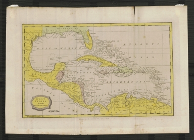
West Indies from the Best Authorities
|
|
Year:
|
1796
|
|
Date Range:
|
1796-1806
|
|
Engraver or Printer:
|
Barlow
|
|
Object Publisher:
|
Brightly and Kinnersly
|
|
Place of Publication:
|
Bungay, Suffolk, UK
|
|
Continent:
|
North America; South America
|
|
Country:
|
United States; Cuba; Dominican Republic; Haiti; Mexico; Brazil; Jamaica
|
|
State:
|
Florida; Georgia; Alabama; Mississippi; Louisiana; Texas
|
|
Geographic Area:
|
Atlantic Ocean; Gulf of Mexico; Caribbean; Central America
|
|
Geographical Description:
|
This map shows Florida divided into two parts called East and West Florida, though the coloration does not follow the political divisions of the two Floridas.
|
|
Other Known Copies (non OCLC):
|
At least two copies in private hands.
|
|
OCLC:
|
Garrett Map Library, University of Texas at Arlington
|