|
Short Title
Florida.
Year
1911
Author
Rand, McNally and Company
Short Title
Florida.
Year
1895
Author
Rand McNally and Company
Short Title
The Rand McNally new commercial atlas map of Florida.
Date Range
1917?
Author
Rand McNally and Company
Short Title
The Rand McNally new commercial atlas map of Florida.
Date Range
1917?
Author
Rand McNally and Company
Short Title
Florida.
Year
1906
Author
Rand McNally and Company
Short Title
Florida.
Year
1895
Author
Rand McNally and Company
Short Title
Florida.
Year
1895
Author
Rand McNally and Company
Short Title
State of Florida Township No. One North, Range No. 2 East ; Township No. 1 North, Range No. 3 East.
Date Range
1800s
Short Title
A Map of the seat of war in Florida
Year
1836
Short Title
A map of the seat of war in Florida
Year
1836
Short Title
Copy of a map of the seat of war in Florida forwarded to the War Department by Major Genl. W. Scott U.S.A.
Year
1836
Author
Lieut. J.E. Johnston
Short Title
Copy of a map of the seat of war in Florida forwarded to the War Department by Major Genl. W. Scott U.S.A.
Year
1836
Author
Lieut. J.E. Johnston
Short Title
Map of Florida showing the distribution of the pine forests, with special reference to the lumber industry.
Year
1881
Author
Charles Sprague Sargent
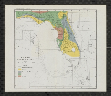
Short Title
Florida geology.
Year
1891
Author
William Healey Dall
Short Title
Map of DeLand, Volusia County, Florida
Year
1945
Author
Moneypenny Engineering Co.
Short Title
Florida.
Year
1879
Author
Encyclopaedia Britannica
Short Title
Florida.
Year
1879
Author
Encyclopaedia Britannica
Short Title
Florida.
Date Range
1880-1884
Author
Encyclopaedia Britannica
Short Title
Florida.
Date Range
1888 or after
Author
Encyclopaedia Britannica
Short Title
Map of Florida and the West Indies.
Year
1899
Author
Florida East Coast Railway
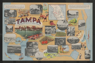
Short Title
Tampa, the vacation capitol of South Florida.
Date Range
1939?
Author
Tampa Chamber of Commerce
Short Title
Tampa, the vacation capitol of South Florida.
Date Range
1939?
Author
Tampa Chamber of Commerce
Short Title
Florida East Coast Railway.
Date Range
1920s
Author
Florida East Coast Railway.
Short Title
Florida East Coast Railway.
Date Range
1920s
Author
Florida East Coast Railway.
Short Title
Map of Jacksonville, Tampa, and Key West system and connections.
Date Range
1889?
Author
Matthews-Northrup Company
Short Title
Florida.
Date Range
1830s
Short Title
Florida.
Date Range
1830s
Short Title
Carte de la Floride Francaise (1562-1568).
Year
1875
Author
Paul Gaffarel
Short Title
Carta rappresentante la Penisola della Florida.
Date Range
1763?
Author
Andrea Scacciati
Short Title
Friendly Service offices in Florida.
Date Range
1940s-early 1950s?
Author
Friendly Service, Inc.
Short Title
Friendly Service offices in Florida.
Date Range
1940s-early 1950s?
Author
Friendly Service, Inc.
Short Title
Tourist map of Florida [top half]
Year
1932
Author
W. E. Hunt
Short Title
Tourist map of Florida [bottom half]
Year
1932
Author
W. E. Hunt
Short Title
De Land, Florida : motor routes and distance table
Date Range
ca. 1935
Author
Automobile Blue Books, Inc.
Short Title
De Land, Florida : motor routes and distance table
Date Range
ca. 1935
Author
Automobile Blue Books, Inc.
Short Title
Chart no. 17, sponging grounds of the coast of Florida.
Year
1887
Author
Charles E. Gorham
Short Title
The sea level route, or the Ocean Highway, to Florida.
Year
1937
Author
American Automobile Association
Short Title
The sea level route, or the Ocean Highway, to Florida.
Year
1937
Author
American Automobile Association
Short Title
Map of the State of Florida.
Date Range
1829?
Author
Fenner, Sears & Co.
Short Title
Map of the State of Florida.
Year
1832
Author
Fenner, Sears & Co.
Short Title
Map of the State of Florida.
Date Range
1830s?
Author
Fenner, Sears & Co.
|


![Tourist map of Florida [top half]](https://luna.tampabayhistorycenter.org/MediaManager/srvr?mediafile=/Size2/TBHC~3~3/24/M1848%28a%29.jpg)
![Tourist map of Florida [bottom half]](https://luna.tampabayhistorycenter.org/MediaManager/srvr?mediafile=/Size1/TBHC~3~3/24/M1848%28b%29.jpg)
![[Map of East Florida].](https://luna.tampabayhistorycenter.org/MediaManager/srvr?mediafile=/Size1/TBHC~3~3/24/M1644.jpg)


