|
REFINE
Browse All : Gulf Coast (U.S.)
1-19 of 19
Short Title
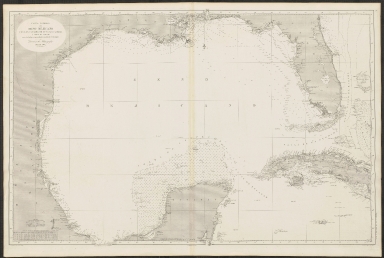
Map of the Straits of Florida and Gulf of Mexico.
Year
1852
Author
U.S. Coast Survey
Short Title
Map of the Straits of Florida and Gulf of Mexico.
Year
1852
Author
U. S. Coast Survey
Short Title
Les Isles Antilles, et le golfe du Méxique.
Date Range
1780?
Author
Rigobert Bonne
Short Title
Map of the Province of West Florida.
Year
1781
Author
Thomas Kitchin
Short Title
Carte d'une partie des côtes de la Floride et la Louisiane
Year
1778
Author
Dépôt des cartes et plans de la marine
Short Title
De Cust van Westindien, van la desconoscida, tot C. Escondido.
Date Range
1675-1680
Author
Arent Roggeveen
Short Title
Map of the Gulf of Mexico, the islands and countries adjacent
Year
1777
Author
Thomas Kitchin
Short Title
A map of the West Indies and middle continent of America from the latest observations
Date Range
1779-1803?
Author
John Blair
Short Title
Carta General del Seno Mejicano con los canales de Yucatan, Florida y Nuevo de Bahama.
Year
1869
Author
T. Bryant
Short Title
Carte des côtes du Golfe du Mexique.
Year
1800
Author
Depot General de la Marine
Short Title
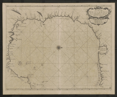
Insulae Americanae in Oceano Septentrionali cum terris adiacentibus.
Date Range
1665?
Author
William Janszoon Blaeu
Short Title
Insulae Americanae in Oceano Septentrionali cum terris adiacentibus.
Date Range
1665?
Author
William Janszoon Blaeu
Short Title
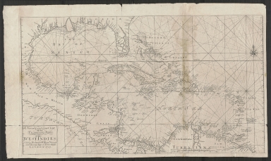
A new and correct large chart of the tradeing part of the West Indies.
Year
1713
Short Title
Indiarum Occidentalium tractus littorales cum insulis Caribicis
Pascaert van West Indien ende Caribise eylanden
Date Range
1680?
Short Title
Florida et Apalche.
Year
1598
Author
Cornelis van Wytfliet
Short Title
Florida et Apalche.
Year
1598
Author
Cornelis van Wytfliet
Short Title
A Map of Part of West Florida, from Pensacola to the Mouth of the Iberville River, with a View to Shew the Proper Spot for a Settlement on the Mississipi
Year
1772
Author
John Lodge
1-19 of 19
|