|
REFINE
Browse All : Southern States and Indians of North America
1-8 of 8
Short Title
Carte des Carolines Meridionale et Septenttrionale, la Georgie, la Floride, Orientale et Occididentale.
Year
1799
Author
J. B. Poirson
Short Title
A general map of the southern British colonies, in America. comprehending North and South Carolina, Georgia, East and West Florida, with the neighbouring Indian countries.
Year
1776
Short Title
Partie méridionale de la rivière de Missisipi, et ses environs, dans l'Amérique Septentrionale.
Year
1718
Author
Nicolas de Fer
Short Title
New map of the states of Georgia, South and North Carolina, Virginia and Maryland, including the Spanish provinces of West and East Florida : from the latest surveys.
Year
1793
Short Title
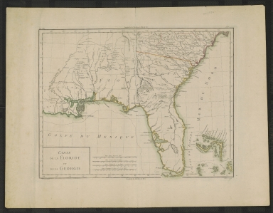
Carte de la Floride et de la Georgie.
Date Range
1790s?
Author
P.F. Tardieu
Short Title
Carte de la Floride et de la Georgie.
Date Range
1782?
Author
P.F. Tardieu
1-8 of 8
|