|
REFINE
Browse All : Images from 1876
1-19 of 19
Short Title
State of Florida
Year
1876
Author
Department of the Interior General Land Office
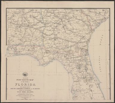
Short Title
Preliminary Post Route Map of the State of Florida with Adjacent Parts of South Carolina, Georgia and Alabama showing also the neighboring West India Islands.
Year
1876
Author
W. L. Nicholson
Short Title
Preliminary Post Route Map of the State of Florida with Adjacent Parts of South Carolina, Georgia and Alabama showing also the neighboring West India Islands.
Year
1876
Author
W. L. Nicholson
Short Title
Preliminary Post Route Map of the State of Florida with Adjacent Parts of South Carolina, Georgia and Alabama showing also the neighboring West India Islands.
Year
1876
Author
W. L. Nicholson
Short Title
Preliminary Post Route Map of the State of Florida with Adjacent Parts of South Carolina, Georgia and Alabama showing also the neighboring West India Islands.
Year
1876
Author
W. L. Nicholson
Short Title
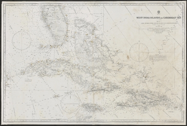
West India Islands and Caribbean Sea Sheet 1. Comprising Florida Strait, Bahama Islands and the Greater Antilles
Year
1876
Author
British Admiralty Hydrographic Office
Short Title
State of Florida
Year
1876
Short Title
Birds Eye View of Jacksonville, Fla.
Year
1876
Author
Augustus Koch
Short Title
Plan of Fort Brooke Reservation, 1876, by Maj. R. Arnold, 5th Arty. This unassuming manuscript map of the fort, drawn during the last years of army occupation, played an important role over one hundred years after is was first created. In 1980, during construction of a garage for what was then known as the Quad Block near the intersection of Florida Avenue and Whiting Street, workers discovered the remnants of the Fort Brooke cemetery. Archaeologists Harry and Jacquelyn Piper were hired to survey the site and assist in recovery of the human remains - including soldiers, settlers, and Seminoles - and historic objects from the construction site. they used this map, along with several others, to pinpoint the former locations of fort buildings on the contemporary landscape. The subsequent research that the team published is among the most important information used in piecing together the story of Fort Brooke.
Year
1876
Short Title
The Windward Passages and Gulf of Mexico Including the Bahama & West India Islands.
Year
1876
Author
Charles Wilson
Short Title
The Windward Passages and Gulf of Mexico Including the Bahama & West India Islands.
Year
1876
Author
Charles Wilson
Short Title
County Map of Florida
Year
1876
Author
S. Augustus Mitchell
Short Title
County Map of Florida
Year
1876
Author
S. Augustus Mitchell
Short Title
Rand, McNally & Co.'s Florida
Year
1876
Author
Rand, McNally & Co.
1-19 of 19
|