|
Short Title
Highway map of Florida.
Date Range
1948-1949
Author
H. M. Gousha Company
Short Title
Highway map of Florida.
Date Range
1948-1949
Author
H. M. Gousha Company
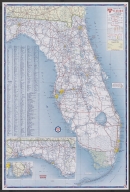
Short Title
Highway map of Florida.
Year
1957
Author
H. M. Gousha Company
Short Title
Highway map of Florida.
Year
1957
Author
H. M. Gousha Company
Short Title
Highway map of Florida.
Date Range
1953-1954
Author
H. M. Gousha Company
Short Title
Highway map of Florida.
Date Range
1953-1954
Author
H. M. Gousha Company
Short Title
Highway map of Florida.
Year
1959
Author
H. M. Gousha Company
Short Title
Highway map of Florida.
Year
1959
Author
H. M. Gousha Company
Short Title
Street map of Miami and Miami Beach.
Year
1955
Author
H. M. Gousha Company
Short Title
Street map of Miami and Miami Beach.
Year
1955
Author
H. M. Gousha Company
Short Title
Cities Service map of Miami and Miami Beach.
Year
1956
Author
H. M. Gousha Company
Short Title
Cities Service map of Miami and Miami Beach.
Year
1956
Author
H. M. Gousha Company
Short Title
Street Map of Miami and Miami Beach.
Date Range
1953?
Author
H. M. Gousha Company
Short Title
Street Map of Miami and Miami Beach.
Date Range
1953?
Author
H. M. Gousha Company
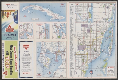
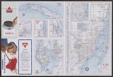
Short Title
Cities Service map of Florida.
Year
1956
Author
H. M. Gousha Company
Short Title
Cities Service map of Florida.
Year
1956
Author
H. M. Gousha Company
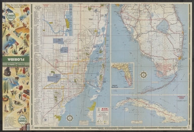
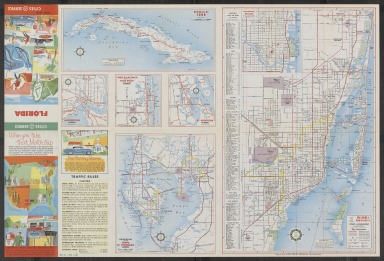
Short Title
Highway map of Florida.
Date Range
1953?
Author
H. M. Gousha Company
Short Title
Highway map of Florida.
Date Range
1953?
Author
H. M. Gousha Company
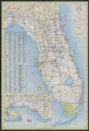
Short Title
Highway map of Florida.
Date Range
1954-1957?
Author
H. M. Gousha Company
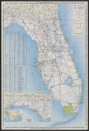
Short Title
Highway map of Florida.
Date Range
1954-1957?
Author
H. M. Gousha Company
Short Title
View of St. Augustine, East Florida
Year
1855
Date Range
1850-1860
Author
John S. Horton
Short Title
La Floride
Year
1657
Author
Nicolas Sanson
Short Title
Jonathan Dickenson's Ramspoedige Reystogt van Jamaika na Pensylvania nagespoord.
Year
1707
Date Range
1706-1707
Author
Pieter van der Aa
Short Title
Jonathan Dickenson's Ramspoedige Reystogt van Jamaika na Pensylvania nagespoord.
Year
1707
Date Range
1706-1707
Author
Pieter van der Aa
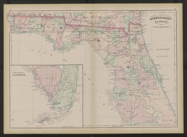
Short Title
Railroad and county map of Florida
Date Range
between 1888 and 1900
Author
George F. Cram
Short Title
Railroad and county map of Florida
Date Range
between 1888 and 1900
Author
George F. Cram
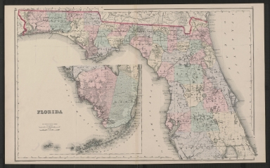
Short Title
Asher & Adams' Florida
Year
1872
Author
Asher & Adams
Short Title
Postal Groves - the Fraternal City In Florida
Year
1928
Author
J. G. Haldane
Short Title
Map of Hillsborough County, Florida.
Year
1885
Author
Florida Land & Improvement Co.
Short Title
Asher & Adams' Florida
Year
1873
Author
Asher & Adams
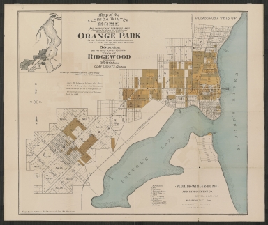
Short Title
Orange Park
Year
1884
Author
Whitman & Breck, Surveyors
Short Title
Asher & Adams' Florida
Year
1874
Author
Asher & Adams
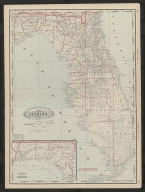
Short Title
Gray's atlas map of Florida
Date Range
1873-1875
Author
O.W. Gray
Short Title
Gray's new map of Florida
Year
1886
Author
Frank A. Gray
Short Title
Gray's new map of Florida
Year
1886
Author
Frank A. Gray
Short Title
States of South Carolina, Georgia, Alalbama, and Florida
Year
1857
Author
[Prof. H. D. Rogers, A. Keith Johnston]
|