Browse All

1884 A. F. Wrotnowski Map of the Town Site of Cler … |

Mc Cord Cin. Map of St. Andrew's Bay Wash … |

Official Safety and Communic … ca. 1958 |

1926 Karl Squires Map of Highlands County. Flo … |

Map of Lake Placid Florida c.1965 |

Map of Lake Placid Florida c.1965 |

1915 A. P. Gibson Map Showing Property of Lake … |

1915 A. P. Gibson Map Showing Property of Lake … |
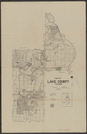
1926 Karl Squires Map of Lake County Florida |

1926 G. R. Horne Map of Summerall Park Height … |

1775 Thos. Jefferys The Coast of West Florida an … |
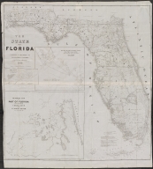
1846 J. Goldsborough Bruff The State of Florida |

1888 D. H. Elliott A New Sectional Map of Flori … |

1888 D. H. Elliott A New Sectional Map of Flori … |

1884 Cram's New Indexed Sectional … |

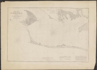
1859 [F. H. Gerdes, J. K. Duer] Preliminary Chart of Entranc … |

Map of Pensacola Florida |

Municipal Advertising Board Map of Pensacola Florida |

1780 A Chart of the Bay and Harbo … |

1910 Warfield? Drawing No 69 Proposed Berth … |

Puerto de Panzacola (Seno Me … |

[Pensacola] Port de Panzacol … ca. 1820 |

Street Map of Siesta Key |

Street Map of Siesta Key |

1956 D. O. Nicholls 57 Map of Sarasota including … |

1956 D. O. Nicholls 57 Map of Sarasota including … |
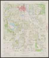
1960 Dade City Quadrangle Florida … |

1960 Dade City Quadrangle Florida … |

1912 Mr. Knight Map of the Highland Farms of … |

1914 Hernando County |

Revised map of Berkeley. 19?? |

Table of land measurements. |

Table of land measurements. |
1860 Survey of the Coast of the U … Preliminary Chart of Western … |

1943 US Coast & Geodetic Survey ( … Jacksonville Sectional Aeron … |

Birds Eye View of Jacksonvil … |

1890 Birds Eye View of Jacksonvil … |

1925 Karl Squires Map of Levy County Florida |

1925 Karl Squires Map of Levy County Florida |

Casa Ybel Sanibel Florida |

Casa Ybel Sanibel Florida |

Clear-View Maps of Florida City of Sanibel & Captiva ca. 1980 |

Clear-View Maps of Florida City of Sanibel & Captiva ca. 1980 |

Gulf Maps Map of City of Fort Myers Fl … ca. 1957 |

Gulf Maps Map of City of Fort Myers Fl … ca. 1957 |

1778 Georges Louis Le Rouge Port et Barre D'Amelia de la … 1775-1778 |

1965 Department of Public Works o … Map of the City of Belle Gla … |

1965 Department of Public Works o … Map of the City of Belle Gla … |
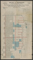
Bryant & Greenwood Plat Showing Lands of the Pa … ca. 1909 |

Bryant & Greenwood Plat Showing Lands of the Pa … ca. 1909 |